
The New Forest National Park Boundary
The New Forest National Park boundary is marked out by more than 50 wooden markers made from Douglas Fir. Click on a map marker for photos of the surrounding area.


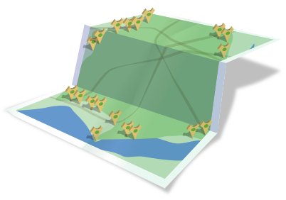
New Forest Boundary Marker Map
This interactive map showing the New Forest boundary was created over several weeks by our visiting every boundary marker around the New Forest National Park perimeter, photographing it and making note of its precise GPS coordinates. Each marker was then 'fed' into our database and the data then converted into this Google map.
Apart from the obviously geeky nature of this exercise(!), we found it to be a great way of discovering parts of the New Forest which we'd never been to before.
The wooden boundary markers (most made from Douglas Fir) were designed and created by the New Forest National Park Authority using wood from sustainable sources. Their shape depicts a stylised Oak tree. Browse a list of the markers (so far recorded) including locations and photos.