New Forest National Park
Boundary Markers
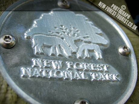
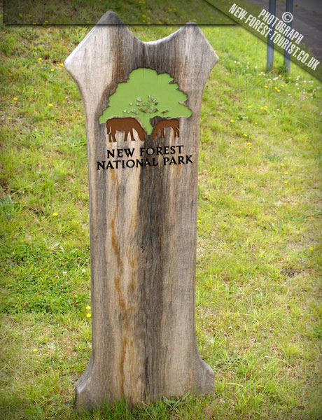
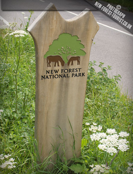
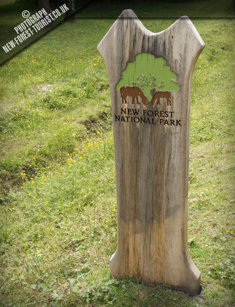
A photographic record of the wooden markers that trace the edge of the National Park. Made mostly from Douglas Fir in the shape of a stylised oak tree, they stand at the road and footpath entry points all around the perimeter. 45 markers recorded so far.
-
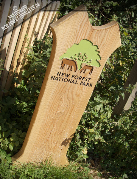 01
Solent Way Walhampton
Lymington Location map & photos →
01
Solent Way Walhampton
Lymington Location map & photos →
-
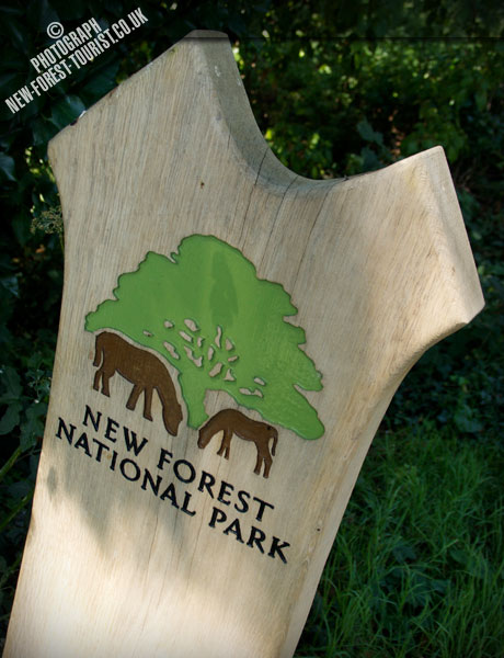 02
Undershore Road, Walhampton
Location map & photos →
02
Undershore Road, Walhampton
Location map & photos →
-
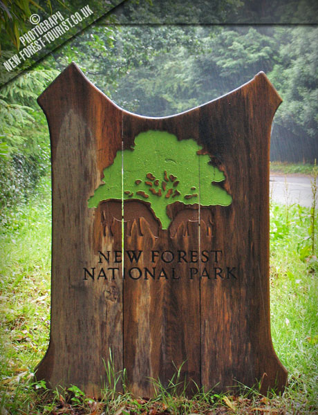 03
Southampton Road, Lymington
Location map & photos →
03
Southampton Road, Lymington
Location map & photos →
-
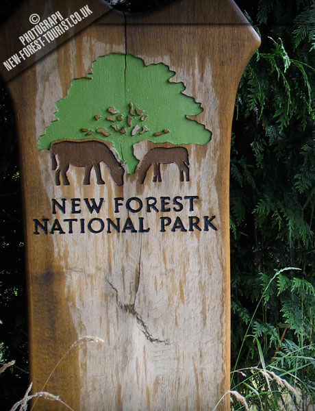 04
Bowling Green
Lymington Location map & photos →
04
Bowling Green
Lymington Location map & photos →
-
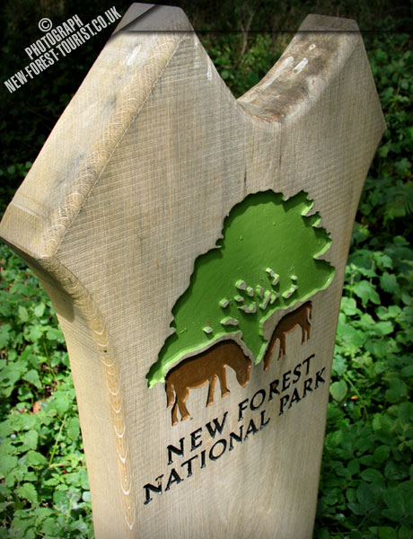 05
Vaggs Lane, Hordle
Location map & photos →
05
Vaggs Lane, Hordle
Location map & photos →
-
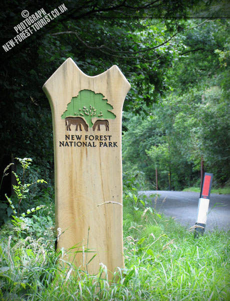 06
Sway Road, Tiptoe
Location map & photos →
06
Sway Road, Tiptoe
Location map & photos →
-
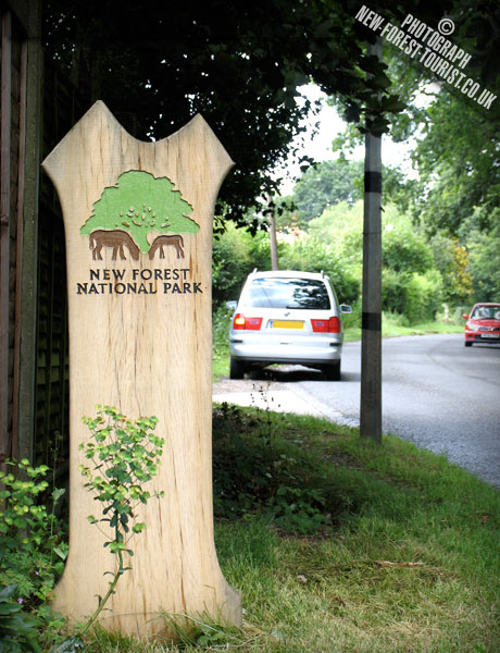 07
Bashley, B3058
Location map & photos →
07
Bashley, B3058
Location map & photos →
-
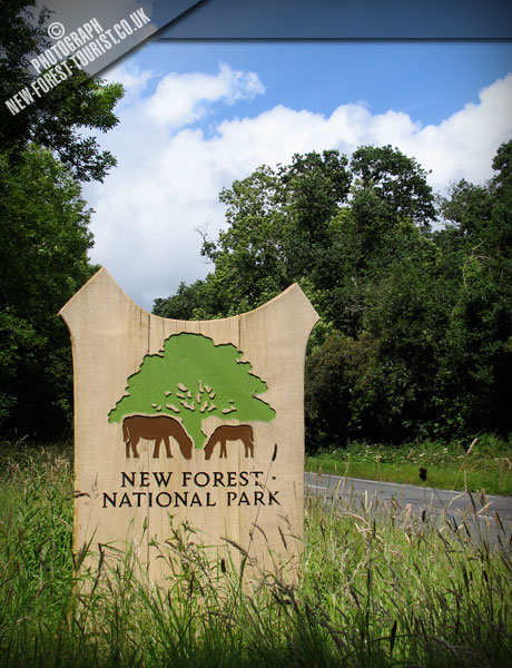 08
A35, Lyndhurst Road
Location map & photos →
08
A35, Lyndhurst Road
Location map & photos →
-
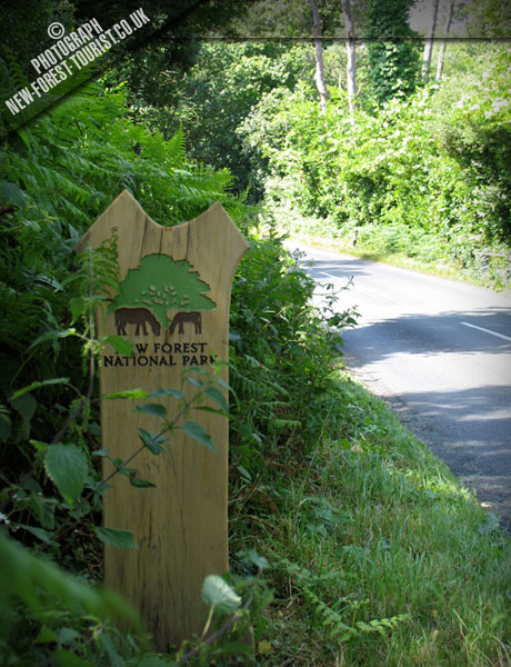 09
Allensworth Wood, Ringwood Road
Location map & photos →
09
Allensworth Wood, Ringwood Road
Location map & photos →
-
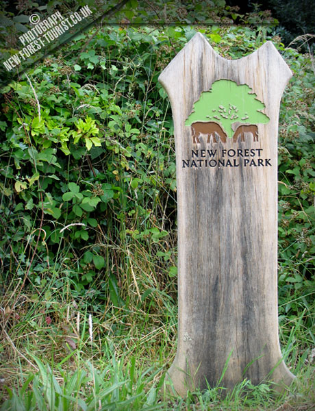 10
Bransgore Church
Location map & photos →
10
Bransgore Church
Location map & photos →
-
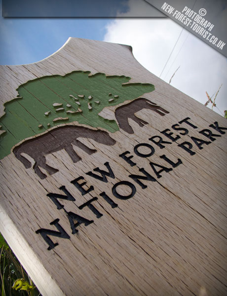 11
North Bransgore
Location map & photos →
11
North Bransgore
Location map & photos →
-
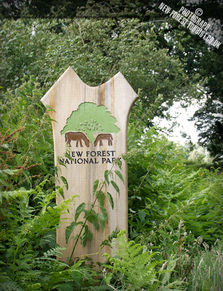 12
B3347 Near Bisterne
Location map & photos →
12
B3347 Near Bisterne
Location map & photos →
-
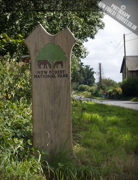 13
B3347 Bisterne
Location map & photos →
13
B3347 Bisterne
Location map & photos →
-
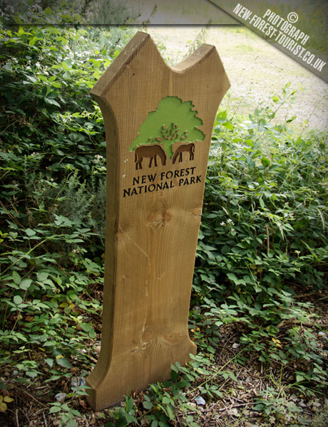 14
Avon Footpath
Location map & photos →
14
Avon Footpath
Location map & photos →
-
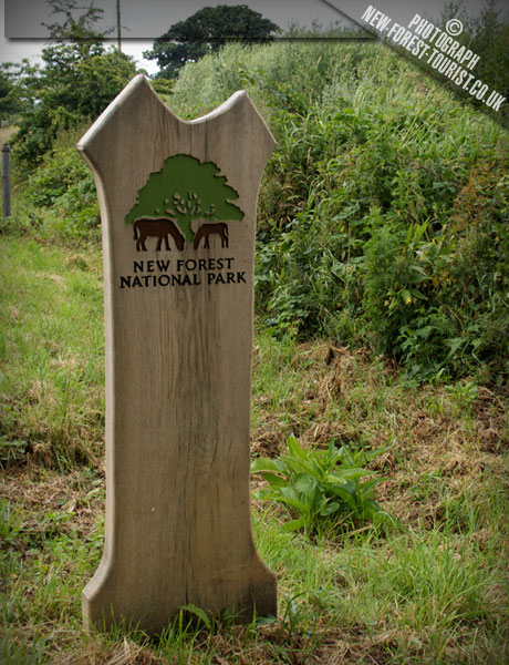 15
Sandford
Location map & photos →
15
Sandford
Location map & photos →
-
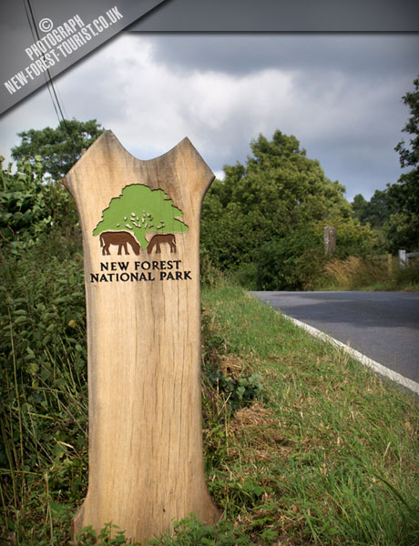 16
Crow
Location map & photos →
16
Crow
Location map & photos →
-
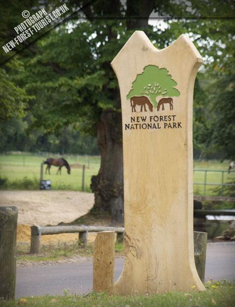 17
Rockford
Location map & photos →
17
Rockford
Location map & photos →
-
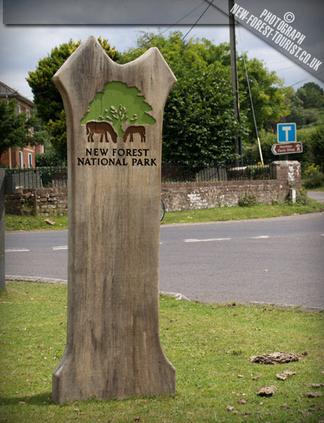 18
Mockbeggar
Location map & photos →
18
Mockbeggar
Location map & photos →
-
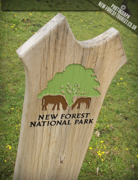 19
North Gorley
Location map & photos →
19
North Gorley
Location map & photos →
-
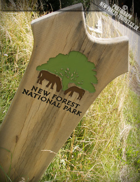 20
Near Frogham
Location map & photos →
20
Near Frogham
Location map & photos →
-
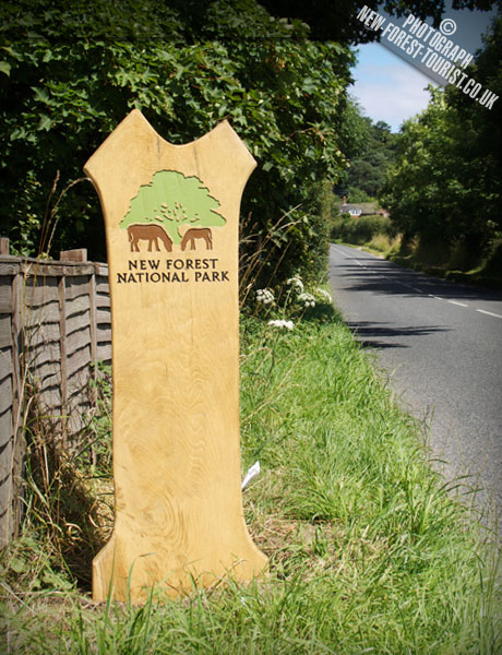 21
B3078 Fordingbridge
Location map & photos →
21
B3078 Fordingbridge
Location map & photos →
-
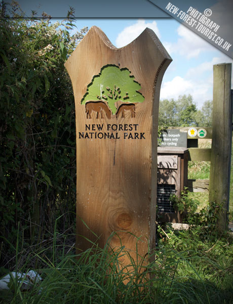 22
Avon Valley Path
Fordingbridge Location map & photos →
22
Avon Valley Path
Fordingbridge Location map & photos →
-
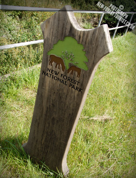 23
Near Woodgreen
Location map & photos →
23
Near Woodgreen
Location map & photos →
-
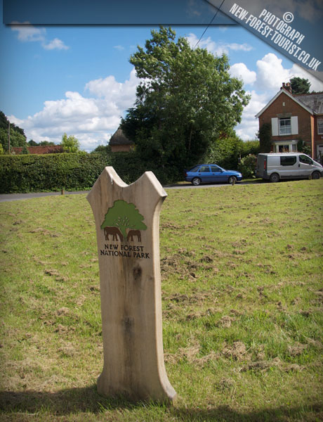 24
B3080 North Charford
Location map & photos →
24
B3080 North Charford
Location map & photos →
-
 25
Redlynch
Location map & photos →
25
Redlynch
Location map & photos →
-
 26
A36 Southbound
Location map & photos →
26
A36 Southbound
Location map & photos →
-
27
A36 Near Landford
Location map & photos →
-
 28
B3079 Landford
Location map & photos →
28
B3079 Landford
Location map & photos →
-
 29
Plaitford
Location map & photos →
29
Plaitford
Location map & photos →
-
 30
Blackhill Road
Location map & photos →
30
Blackhill Road
Location map & photos →
-
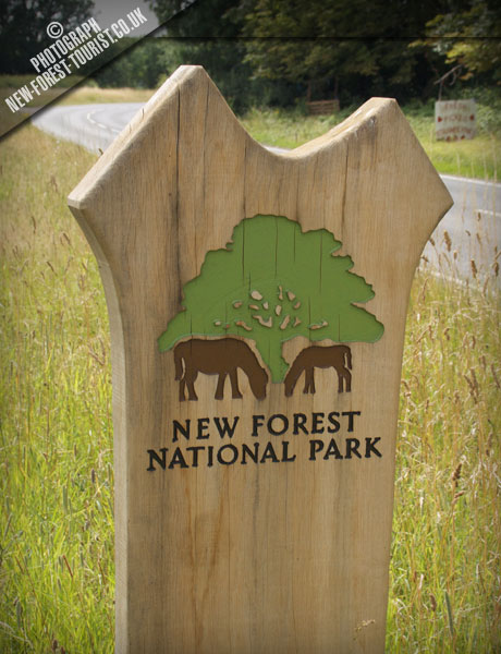 31
Ower
Location map & photos →
31
Ower
Location map & photos →
-
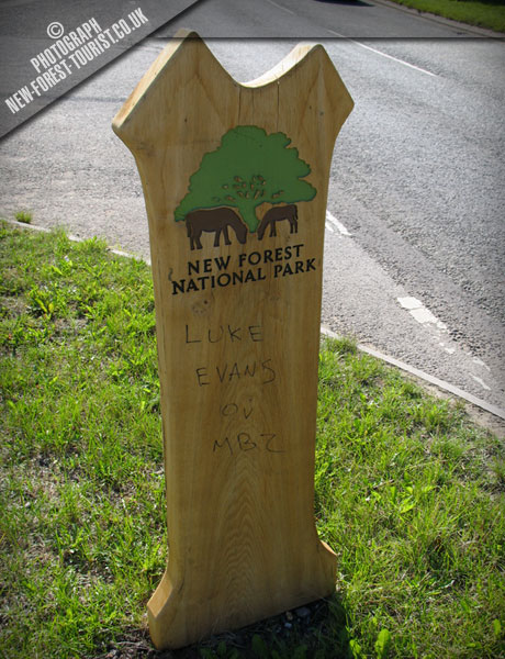 32
A326 Totton
Location map & photos →
32
A326 Totton
Location map & photos →
-
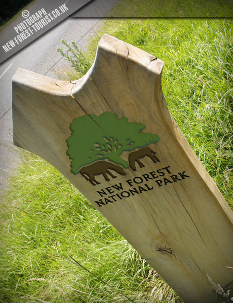 33
A35 Hounsdown
Location map & photos →
33
A35 Hounsdown
Location map & photos →
-
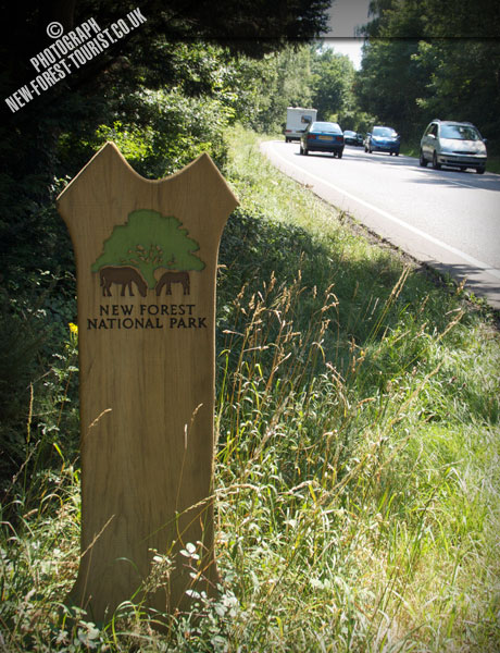 34
A326 Southbound
Location map & photos →
34
A326 Southbound
Location map & photos →
-
35
A326 Marchwood
Location map & photos →
-
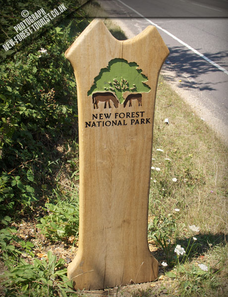 36
36 Applemore
Location map & photos →
36
36 Applemore
Location map & photos →
-
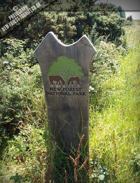 37
37 B3054
Location map & photos →
37
37 B3054
Location map & photos →
-
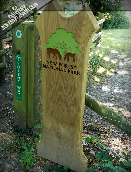 38
38 Solent Way Hardley
Location map & photos →
38
38 Solent Way Hardley
Location map & photos →
-
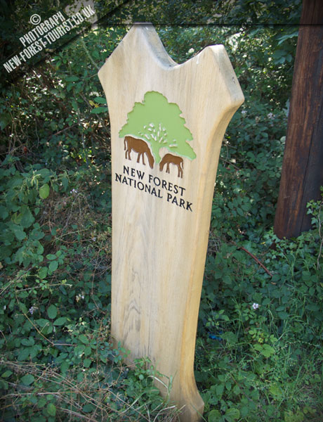 39
39 Holbury
Location map & photos →
39
39 Holbury
Location map & photos →
-
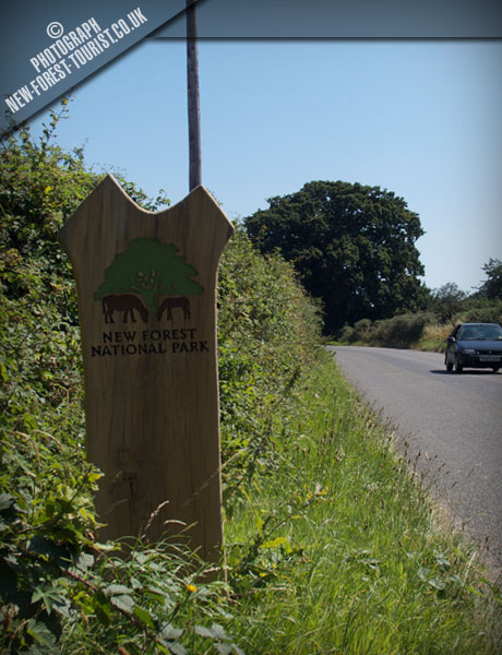 40
40 Lepe Road Langley
Location map & photos →
40
40 Lepe Road Langley
Location map & photos →
-
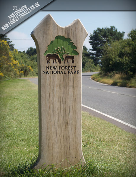 41
B3053
Location map & photos →
41
B3053
Location map & photos →
-
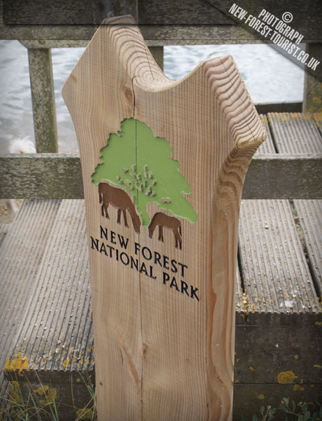 42
Hurst Beach
Location map & photos →
42
Hurst Beach
Location map & photos →
-
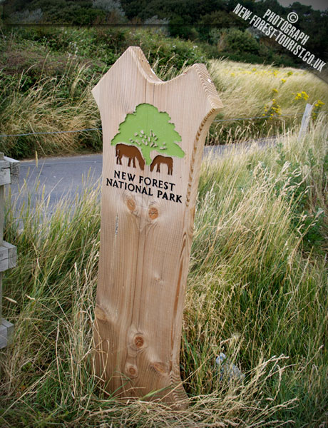 43
Saltgrass Lane
Location map & photos →
43
Saltgrass Lane
Location map & photos →
-
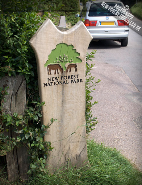 44
Keyhaven Road
Location map & photos →
44
Keyhaven Road
Location map & photos →
-
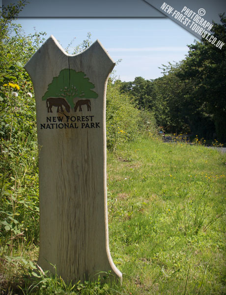 45
Undershore Road
Location map & photos →
45
Undershore Road
Location map & photos →
About the markers
Markers tracing the Park boundary were designed and created by the New Forest National Park Authority using wood from sustainable sources. Most are Douglas Fir, known for its durability; four are polycarbonate, and a number of zinc discs mark footpath entrances. The larger markers are ‘ancient oak’ trees and the smaller ones ‘young oak’ trees.
Seeking them out turned out to be a great way to explore corners of the New Forest we never knew existed — and we still have a few to find.